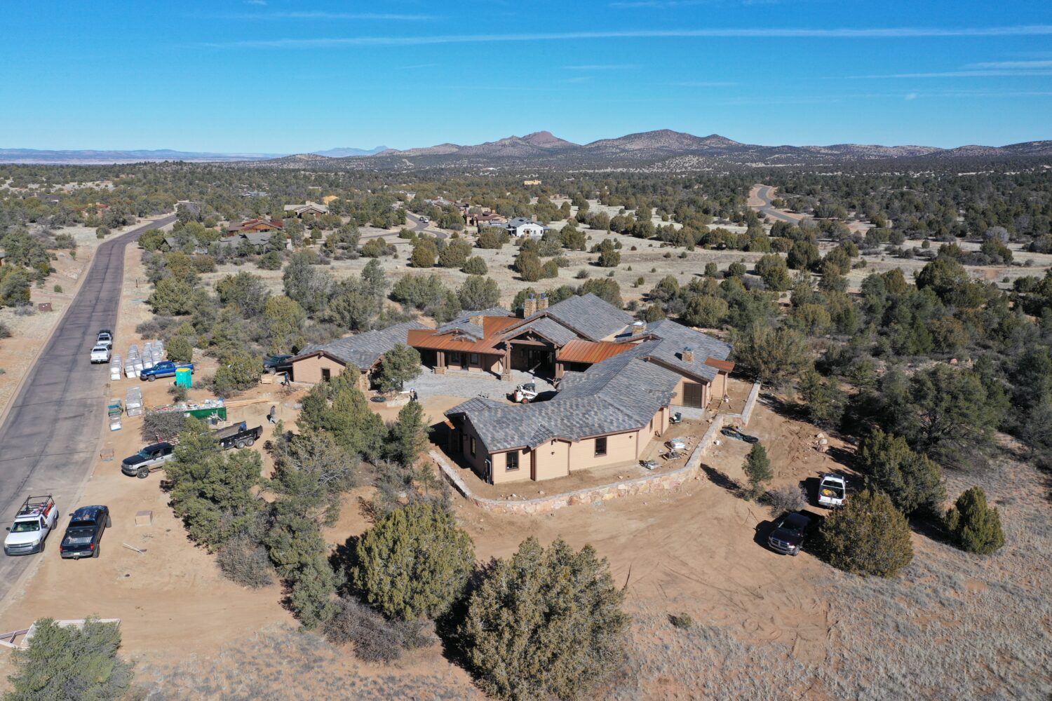
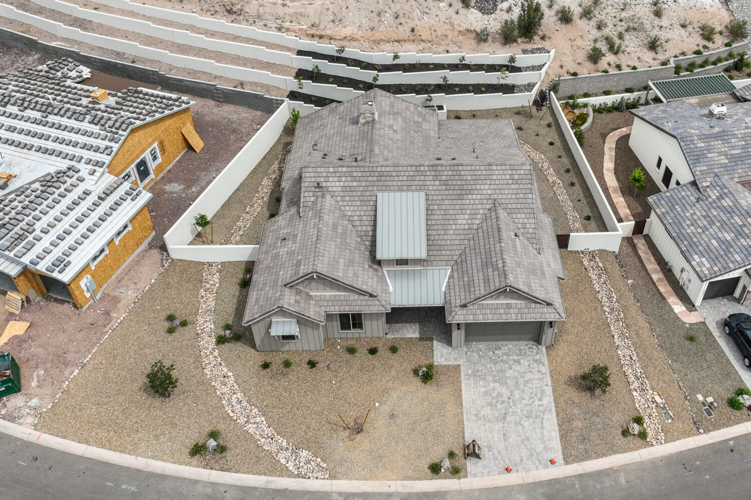
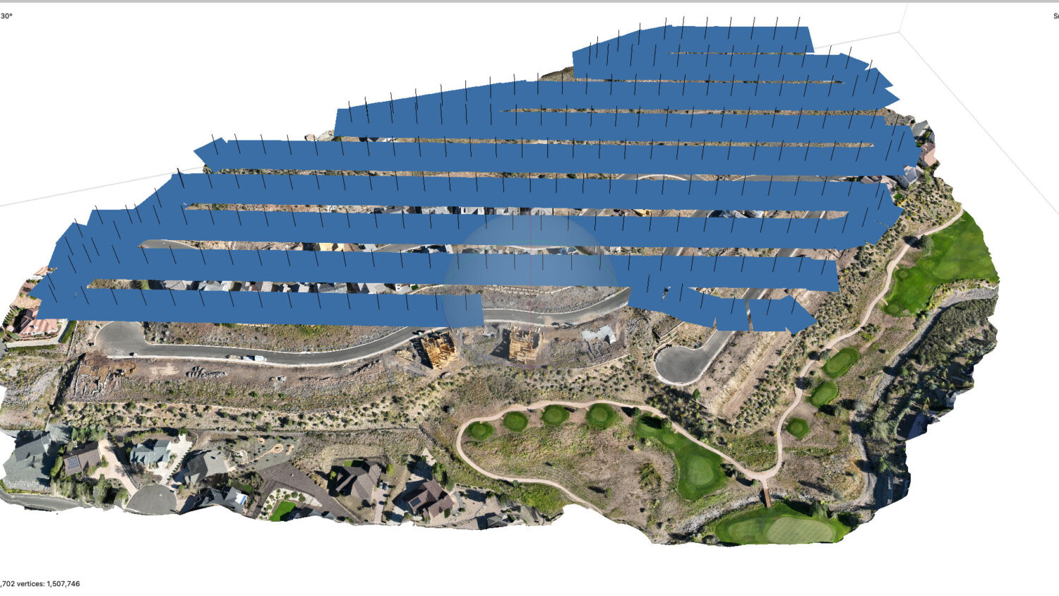
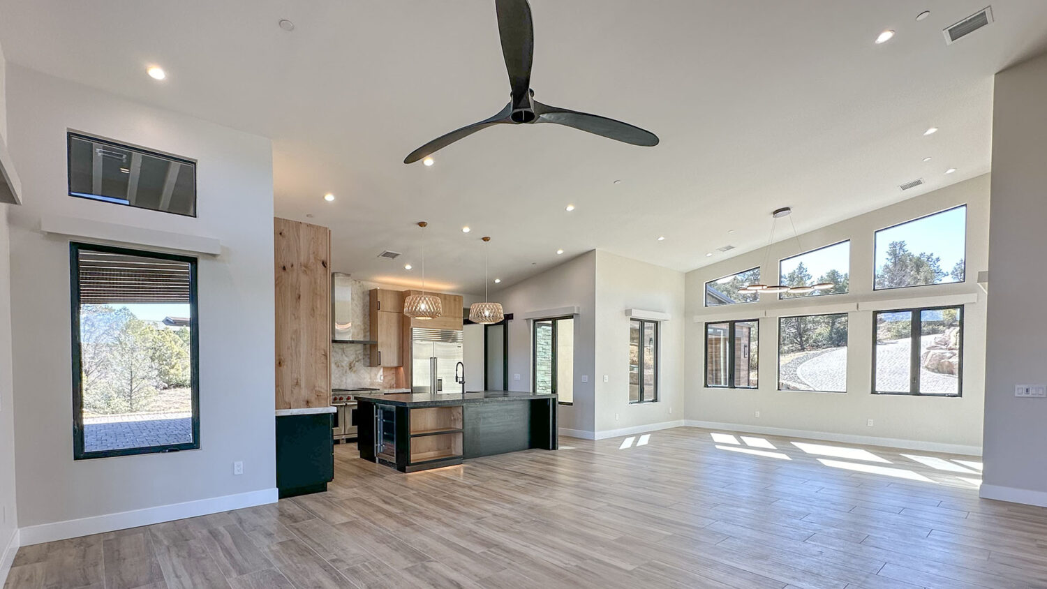
Site Monitoring Isn’t Just About Images—It’s About Deliverables That Tell a Story Drone technology is often praised for its versatility in construction applications. Drones can generate impressively accurate maps, models, measurements and more. They can also be used to tell a story about the construction sites being monitored over the course of time. In most builds, a licensed surveyor has …
Why You Should Monitor Your New Home Build from the Air and Ground
Building a custom home is one of the biggest investments most people will ever make—and the process can be exciting, but also stressful and uncertain, especially if you’re not on-site regularly. That’s why more homebuyers are turning to drone monitoring services to keep an eye on their builds from both the air and the ground. At AZDrone.net we’ve supported many …
Why Commercial Lenders Should Be Using Drones to Monitor Construction Projects
In the world of commercial lending, information is everything—especially when financing construction projects. Ensuring that funds are being used appropriately, that the work is progressing on schedule, and that the value of the collateral is increasing as expected are all vital concerns. This is where drone technology is making a major impact. Why Use Drones? Drones provide a fast, cost-effective, …
Creating Construction Site Models – Photogrammetry
Photogrammetry is the science of taking measurements from photographs. In its simplest form, photogrammetry uses images to create accurate 2D or 3D models of objects, landscapes, or structures. By analyzing photos taken from different angles, software can calculate distances between points, creating a detailed representation of the subject. How Photogrammetry Works The process begins with capturing multiple images of an …
Documenting a residential build with drone progression flights
In August of 2021 I was invited out to see a new single family build site in the Talking Rock community. At the time of my visit the site hadn’t even been leveled yet. So, this would be a full ground up project. We’ve done other similar projects with clients, but we’ve never made it in before the ground was …
Website Designers – What they do and don’t do
Often I get questions from other drone operators about making their own business websites. Many don’t want to build their own website, they’d rather hire a professional website developer / designer. In today’s post I wanted to share what web developers do, and what they don’t do. Often potential web clients don’t understand that there’s more than just designing a …
New Gear For The New Year
We’re coming into the holiday season again! Time sure goes fast! For drone operators the fall and winter sales events across the net offer a wide variety of necessary tools. So it’s time to think about what new tools might benefit your drone business. Software – Photo and Video Editing – 2D and 3D Modeling – Cloud Platforms For many …
Real Estate Photos You Might Never See Without Editing
If you’ve been house hunting in the past few years you might have come across some really compelling images that you’ll never see in real life. Instead, often you’ll see edited images that really catch your attention. Stunning sunrise and sunset photos featuring a home that you won’t see with your eyes. Beautiful scenes from indoors looking out through windows …
The Mavic 3E – Exciting and Disappointing
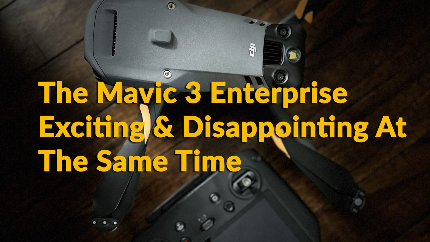
In July of 2023 AZ Drone made a new capital equipment purchase. We finally added the Mavic 3 Enterprise (M3E) to our business. We don’t run out and buy every drone after it’s been released to the public. We weigh the pros and cons of new equipment, make our decisions based on how the new equipment will improve our business …
Providing Client Data – Beyond Cloud Storage
Often drone operators find themselves trying to figure out how to share client data for a project easily. Different kinds of clients require different types of data. In the case of real estate jobs for example, often clients just want the raw images. Or maybe they want edited images of the homes they’re listing. Sometimes they might have requirements on …


