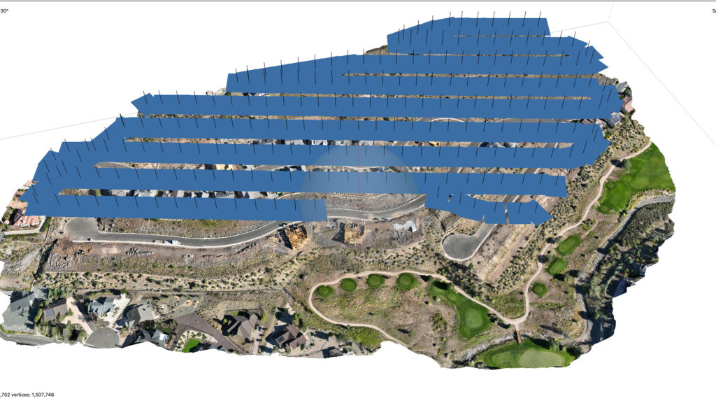
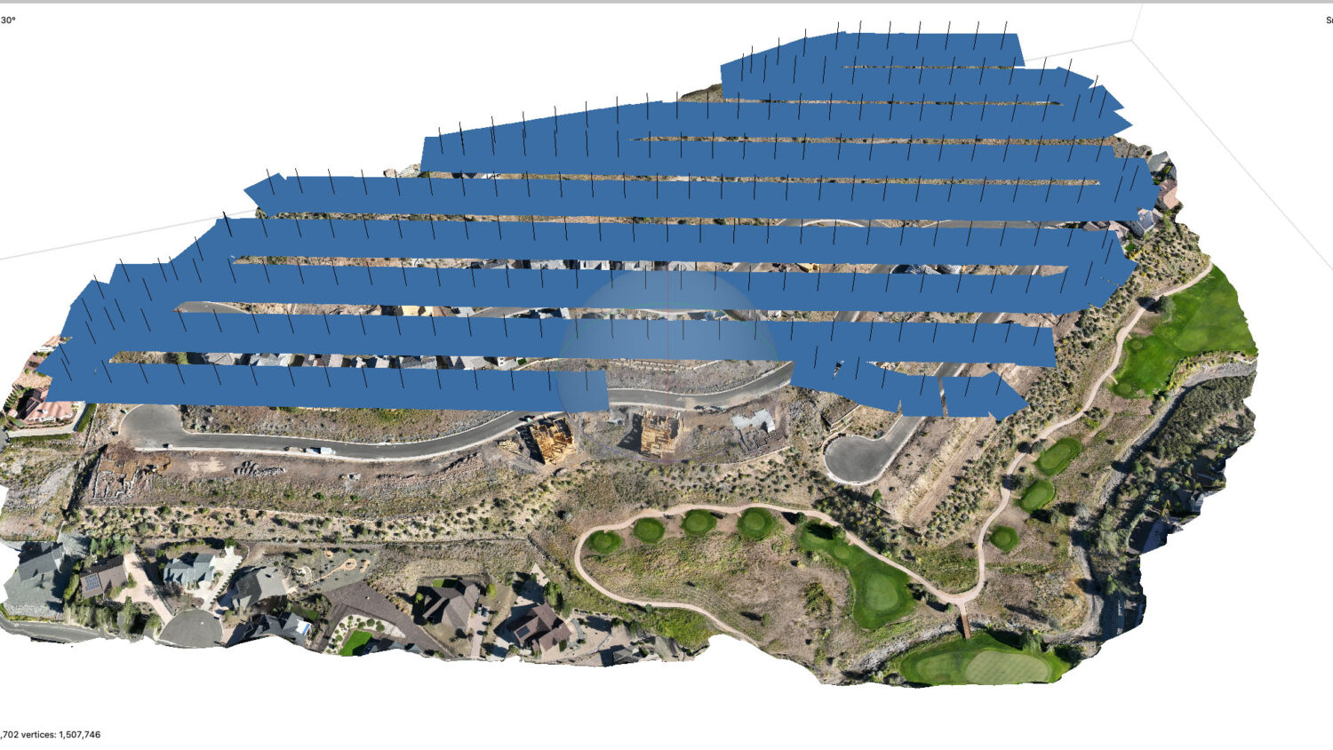
 Photogrammetry is the science of taking measurements from photographs. In its simplest form, photogrammetry uses images to create accurate 2D or 3D models of objects, landscapes, or structures. By analyzing photos taken from different angles, software can calculate distances between points, creating a detailed representation of the subject.
How Photogrammetry Works
The process begins with capturing multiple images of an object or area from various perspectives. These images are then fed into photogrammetry software, which identifies matching points across the photos. By triangulating these points, the software calculates the 3D coordinates of objects in the scene. This results in a 3D model or map, which can be used for measurements, visualization, or further analysis.
Drone Photogrammetry
Drones are especially useful in photogrammetry because they can capture aerial images of large areas from multiple angles. The process typically follows these steps:
- Flight Planning: A flight path is planned to cover the area of interest, ensuring that enough overlapping images are taken. Drones are equipped with GPS and cameras to maintain consistency and accuracy.
- Image Capture: The drone flies the pre-programmed path, taking hundreds or thousands of images from different viewpoints. Each image contains geospatial data, such as latitude, longitude, and altitude, which is crucial for precise mapping.
- Processing the Images: Once the images are collected, they are processed in photogrammetry software. The software matches common points in the images and uses algorithms to generate a 3D model or orthomosaic (a highly detailed map).
Benefits of Drone Photogrammetry
- Speed: Drones can cover large areas quickly, making them ideal for surveying and mapping.
- Accuracy: Modern drones equipped with high-resolution cameras and GPS provide precise data.
- Accessibility: Areas that are difficult to access on foot, such as cliffs or dense forests, can easily be photographed by drones.
Drone photogrammetry is used in fields such as construction, agriculture, environmental monitoring, and archaeology to create accurate maps and 3D models efficiently.

