AZ Drone - Prescott Arizona - 928.235.8265 - FAA Part 107 Certified Pilots
FAA Part 107 Certified
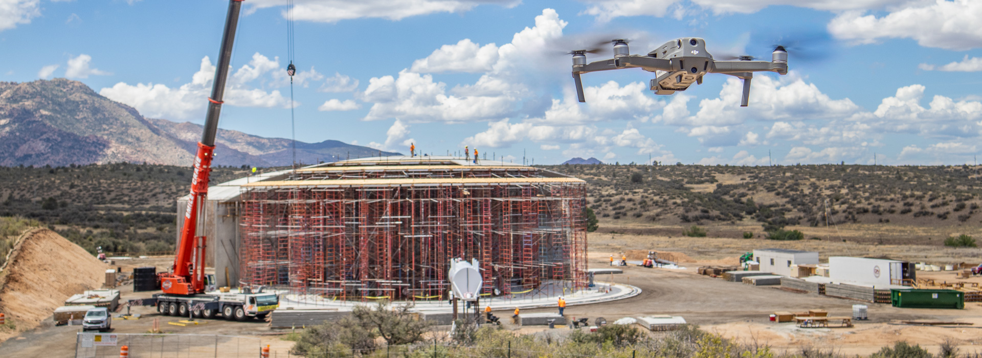
Arizona Drone offers services that can help businesses ensure safer work environments, collect data faster, and provide unique views of work environments that used to be difficult to achieve.

Impress Your Investors
Aerial site inspections and time lapse can show construction site progress like you’ve never seen before. 3D site modeling is available and shows the job site in a way that will impress your investors and construction teams alike.
Beyond Real Estate Photos
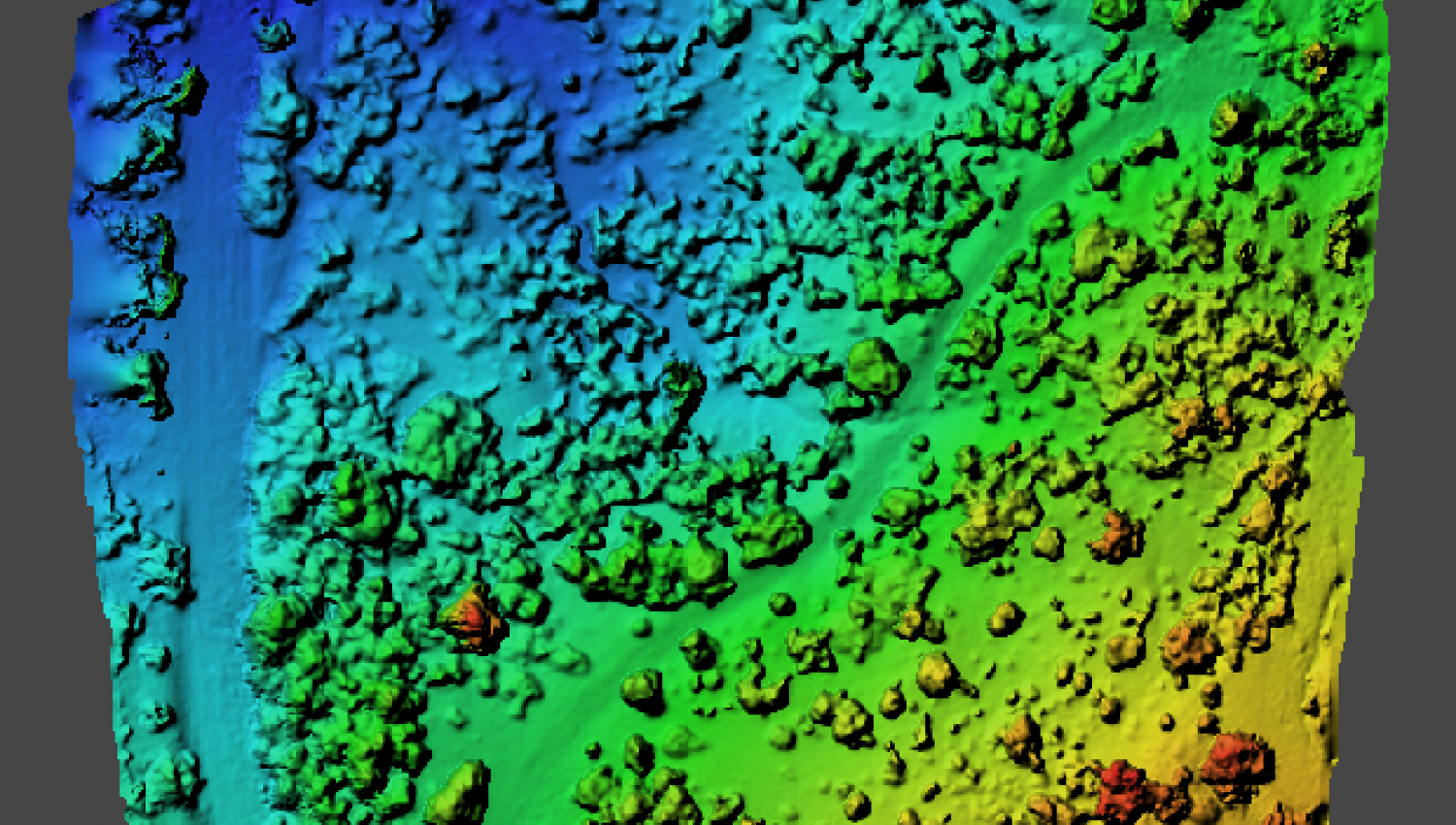
Elevation modeling is also available in order to see the layout of your latest construction project. Topographic models can also be generated for build sites that offer a challenging landscape. And volumetric measurements are now available to observe the usage of site fill, and more.
Construction Services
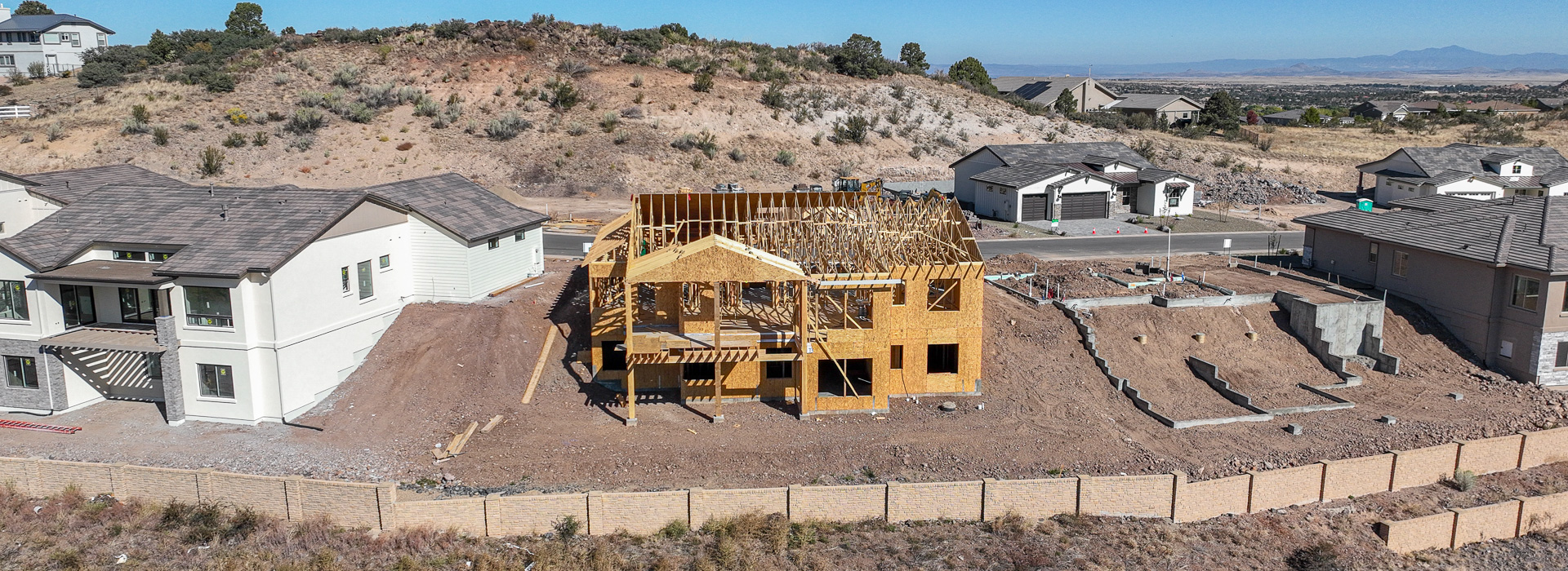
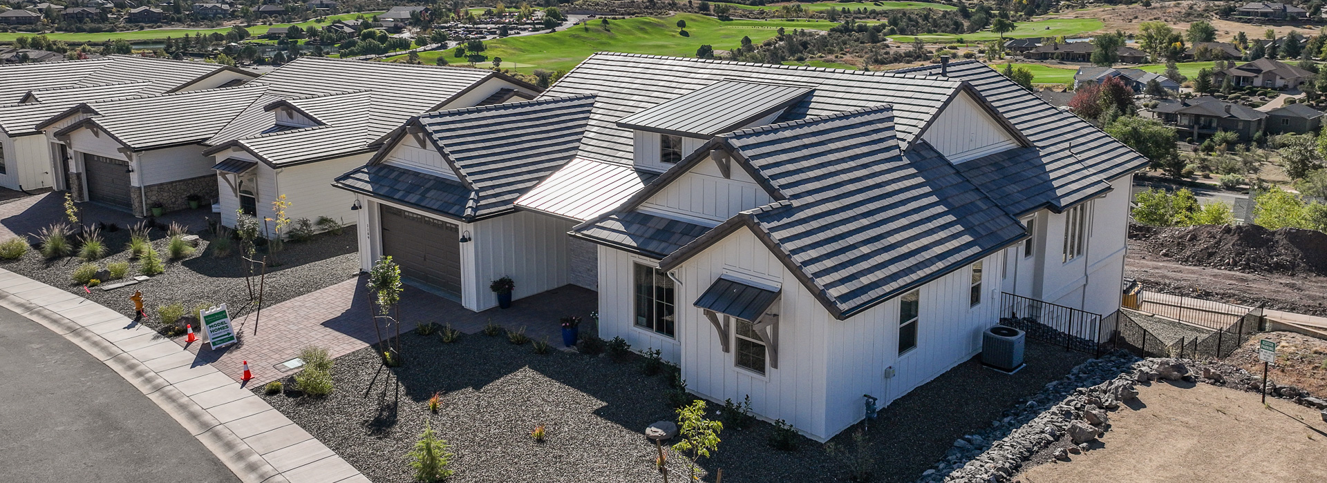
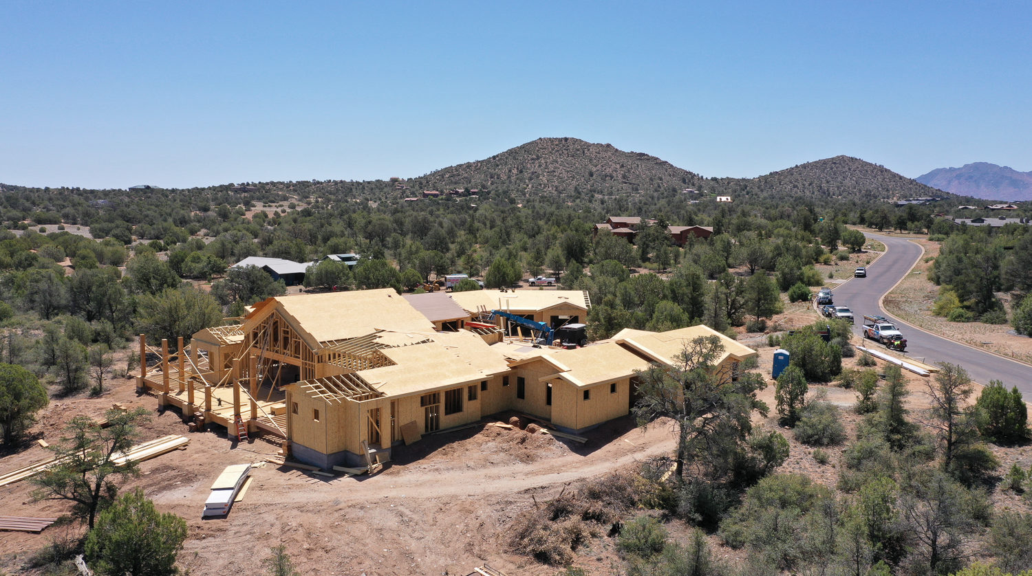
From construction site modeling to construction progress documentation, AZ Drone is here to help with your building needs. And of course, Real Estate aerial still photography and video collection are available to our clients. While there are so many applications for drones today, Real Estate imaging is always in high demand!
Don't Just Talk About Your Build, Show It!!
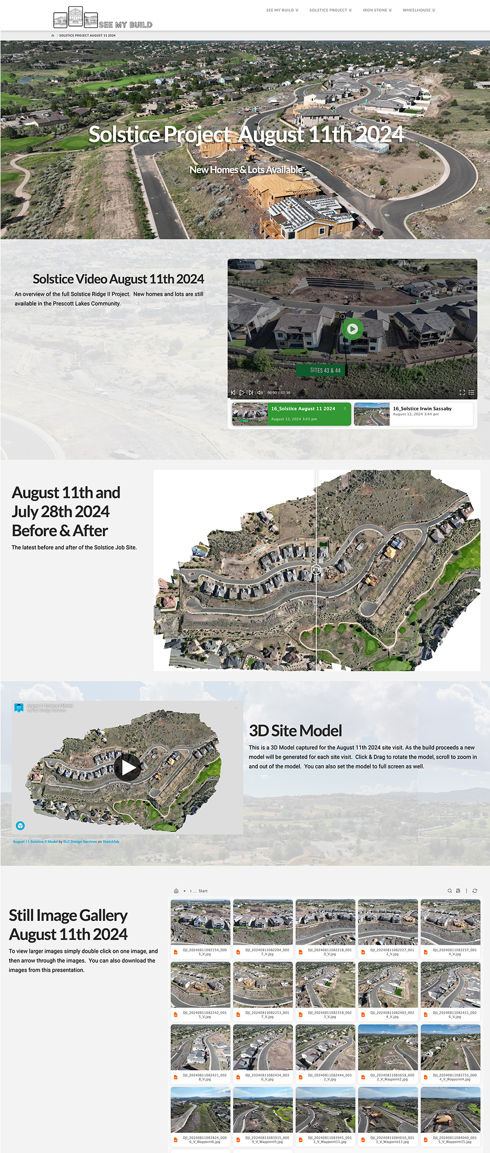
At AZ Drone we pride ourselves on creating a custom webpage to digitally deliver your products. That means we’re not just data dumping everything into your dropbox or google drive. We process all that raw data into interactive maps/models, downloadable images and video, and any other service we provided.
Visit our sister site (SeeMyBuild.com) to see a prime examples of previous and current construction projects and how we’re delivering our data unlike any other.
Using the latest autonomous flight software, AZ Drone can pre-plan a flight mission over the project area, making minor adjustments on-site, creating a repeatable flight path that is flown in weekly/bi-weekly increments. Doing this allows for a true visual representation of the construction progression.
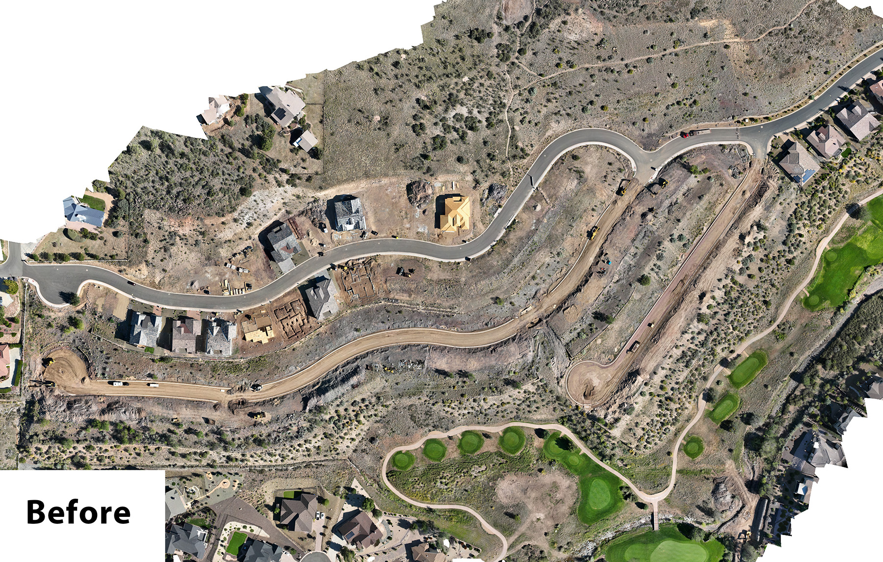
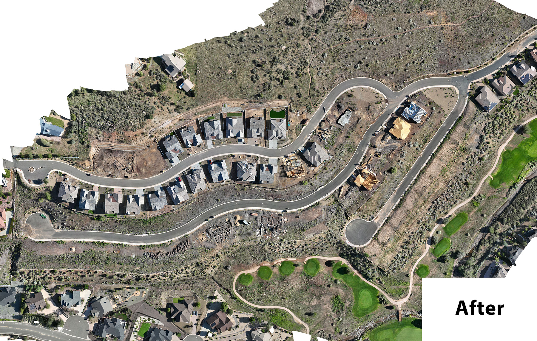
Below is a interactive before and after. This is from an ongoing build project we’ve been documenting. Grab the middle bar with your mouse and drag it to the left and right to see the changes over time.
